skip to content
Driving Line Mark Logo

Holiday on the Trails: The Historic Mojave Road

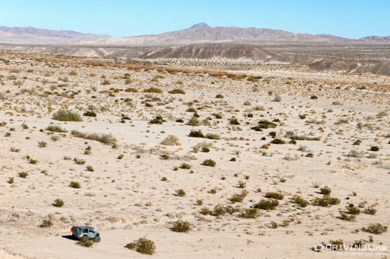
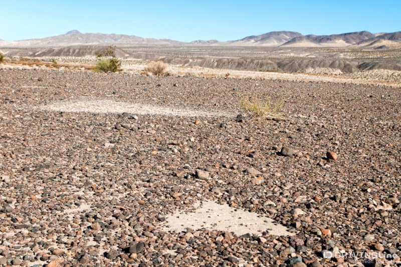
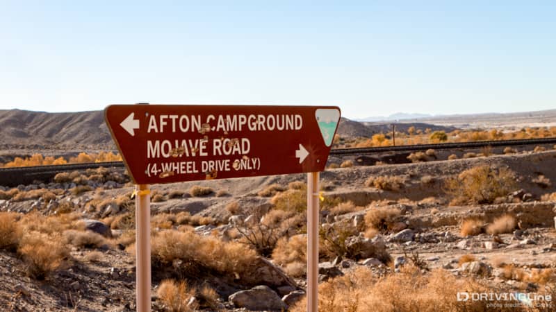
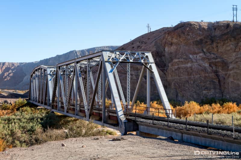
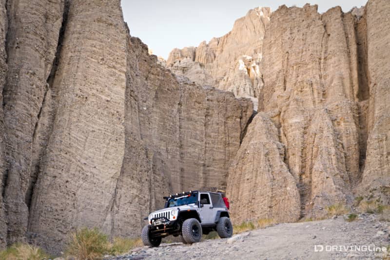
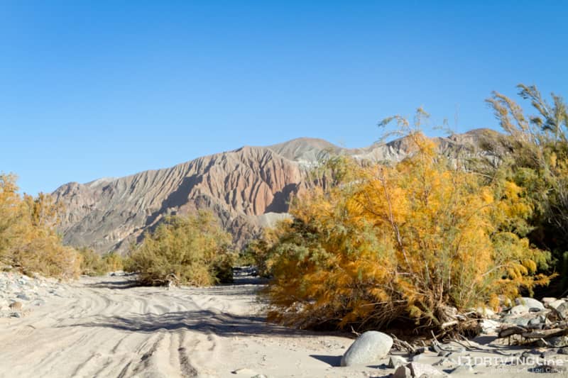
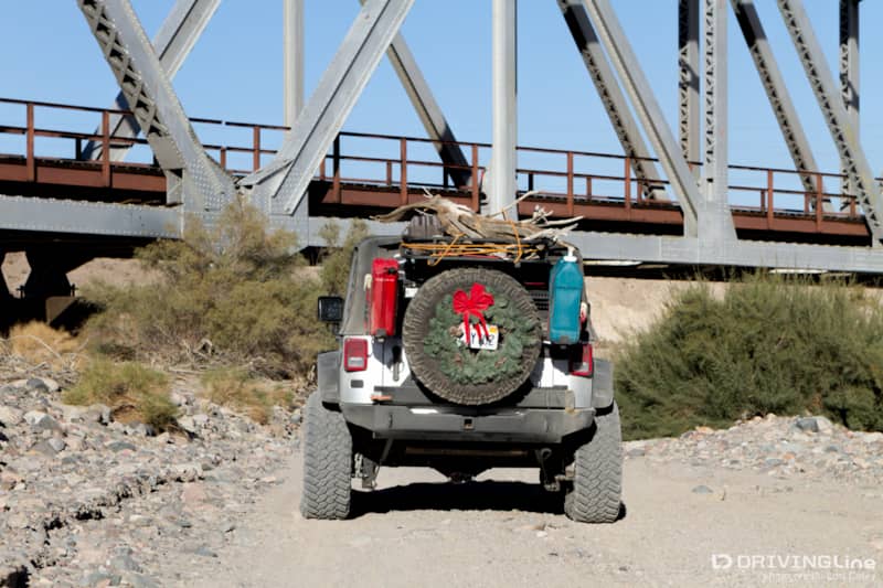
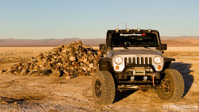
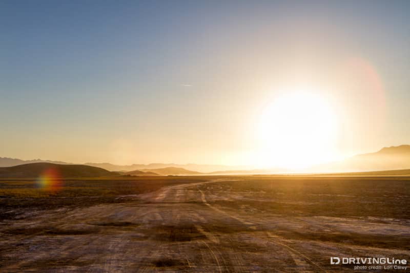
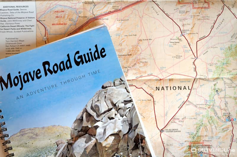
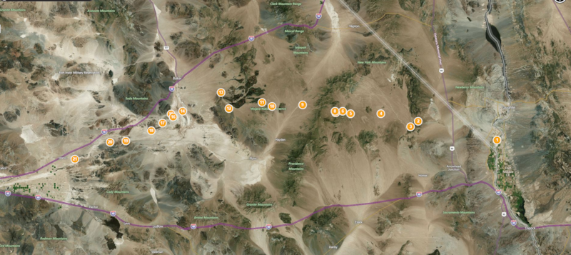
“Just pick something,” I pleaded with my husband as I handed him a stack of trail guide books. Our annual holiday adventure was supposed to begin in a few days, but I was so busy that I hadn’t found the time to plan anything. Trail planning is usually my responsibility, but I had to trust that he had learned enough to take on the job this one time. Several friends had invited us to join them on the lakebed in Johnson Valley, but I really needed to get away from the hectic pace for a few days. He poured over the books for two days and then proudly announced, “I think I’d like to do the Mojave Road again.” Mojave Road Guide book and map Doing the Mojave Road solo isn’t something I’d recommend to most people. The 128 mile historic trail that starts just north of the California-Nevada state line near Needles and ends 24 miles east of Barstow, California travels through the Mojave National Preserve across some of the most remote terrain there is in the Mojave Desert. Although there are a few places where one can escape to a nearby (40 miles away) town, there are no services along the trail; no gas stations, no cell phone service, and no tow trucks. But we were very familiar with the trail and the surrounding area, and I felt sure that if we ran into trouble, there would be other people out in the desert enjoying the long holiday weekend the same way we would be. We let a few friends know of our plans and packed up the Jeep. How can you describe a trek along the Mojave Road in a thousand words or less? Simply put, you can’t. The only word suitable for this bucket list trail is "Epic". What began as an ancient Indian foot path in prehistoric times, connecting the villages of the Mojave Indians on the Colorado River with the California coast, was later used as a wagon route by travelers who came to explore the West and search for gold. Water is precious in the desert, and the route traveled from one watering hole to another. During the 1860s the government built five army outposts at springs along the route to protect what had now become an important mail route from hostile Indians, and the trail is often referred to as the Old Government Road. Map All along the length of the trail you can find archeological sites, historical artifacts and remains of the old Army outposts. Most people spend three days doing the trail, but you could easily spend a week exploring all there is to see. To protect it for only those who seek it out, other than one signpost and one monument which aren’t on the actual trail, the trail is marked only with the occasional rock cairn. Most of it remains in the exact same condition as it was in during prehistoric times. Jeep in the Mojave River Wash We decided to do the trail West-East, opposite the way most people run it. In the past we would always start or stop in Afton Canyon and there was a section in Manix Wash we hadn't yet seen.  The Armo Post of Camp Cady is located near here but is no longer accessible. I had another plan in mind and after getting a late start to the day we headed out in search of the Triangle intaglios. Triangles intaglio site in the Mojave desert We navigated through the deep sand of Manix Wash and found a place to park to make the very steep hike to the top of a mesa. Behind barricade posts that prevent people from driving over them are approximately twenty intaglios created by prehistoric people by removing stones from the desert pavement. All of the intaglios at this location are in the shape of triangles. Afton Campground Sign on the Mojave Road From there we followed the trail into Afton Canyon. This area is very popular with the OHV crowd but once we hit the big Mojave River crossing we were on our own again. The water was very deep, so deep that I couldn’t convince my husband to take the Jeep back through so I could take photos, and I was glad my Jeep had a snorkel as we both breathed a sigh of relief after safely making it across. On the other side there was a Land Rover being towed by a Jeep. The Land Rover had stalled out in the middle of the river when water reached the engine. The Mojave River is known as the "upside down and backward river" because most of it flows underground, and rather than flowing toward the ocean as most rivers do, it flows inland and terminates in the middle of the desert. Afton Canyon is one of the few places where it actually flows above ground. Mojave River bridge in Afton Canyon The Mojave Road follows along the train tracks here and there are several beautiful train bridges. Jeep in Afton Canyon We stopped to do some quick exploring at a favorite spot before moving on. The Mojave Road through the bed of the Mojave River is very deep sand We entered the floodplain of the Mojave River, where the sand was extremely loose and deep, and at times the trail isn’t apparent. The only way to navigate through this section is to look for the cairns. Passing under the Mojave River bridge It was slow going through the deep sand of the floodplain, so it was late in the day when we reached the section that crossed through the Rasor OHV area. We had to decide if we should camp here or push on across Soda Dry Lake and try to find a camp on the other side. The OHV area was far too crowded for our tastes and there was new fencing along the boundary of the Preserve, so we decided to keep moving. Soda Lake is the terminus of the Mojave River and the remains of an ancient Ice Age lake.  It is a "playa", or dry lake, and the surface is covered with caustic alkaline evaporates (make sure to wash the underside of your vehicle after this trip!). During wet seasons there can be water beneath the surface and the lake has been known to trap many who have tried to cross at the wrong time. It is possible to bypass the Lake by taking Rasor Road out to I15 and heading north to Baker, where Kelbaker Road will take you back to the trail. Jeep at Travelers Monument on Soda Dry Lake, Mojave Road We stopped at the Travelers Monument to add our rock to the pile. All who come this way are supposed to place a rock at the monument for good luck. At the center of the rock pile is a plaque. I won’t tell you what it says because you are supposed to come out and see for yourself! It’s a shame that some people have spoiled it by posting photos on the internet, but I like to respect traditions. Crossing Soda Dry Lake with the sun low in the sky, on the Mojave Road The sun was sinking low as we continued across the lakebed and I knew that it wouldn’t be easy finding a suitable campsite in the dwindling light. On the other side is where the real adventure began; until we hit Soda Lake we were close to civilization. On the other side we were deep in the remote desert and there were problems waiting for us, but you’ll have to wait for the next installment to hear about it because I’m sure my editor is already cringing at the number of words I wrote! Happy Holidays and best wishes for the New Year from all of us at DrivingLine! For my off-road friends I’ll leave with you my one of my favorite Edward Abbey quotes – “Benedicto: May your trails be crooked, winding, lonesome, dangerous, leading to the most amazing view. May your mountains rise into and above the clouds. May your rivers flow without end, meandering through pastoral valleys tinkling with bells, past temples and castles and poets towers into a dark primeval forest where tigers belch and monkeys howl, through miasmal and mysterious swamps and down into a desert of red rock, blue mesas, domes and pinnacles and grottos of endless stone, and down again into a deep vast ancient unknown chasm where bars of sunlight blaze on profiled cliffs, where deer walk across the white sand beaches, where storms come and go as lightning clangs upon the high crags, where something strange and more beautiful and more full of wonder than your deepest dreams waits for you -- beyond that next turning of the canyon walls.”
Return to beginning of article

Loading ...