Death Valley Escape Route Over the Slate Range Mountains
In 1849, a large group of California-bound emigrants found themselves struggling for survival while trying to cross the brutal, dry terrain of Death Valley. They had some hand-drawn maps that were supposed to show shortcuts over the mountains, but few were willing to head out into the uncharted territory. Arguments about the situation caused the group to split into several factions, each headed in a different direction seeking to escape certain death if they remained on the valley floor. Many of the canyons, passes and mountains in this area are named after these intrepid adventurers, and some of the best off-road trails in the Death Valley area are the historic routes used by these 49ers to make their escape from the valley.
We previously explored the route taken by Harry Wade. This time we followed the more adventurous route over the Slate Range taken by the Bennett and Arcan party, led by William Manly and John Rogers, to make their escape on foot after abandoning their wagons.
It would be historically accurate to take this trail from east to west, but we traveled west to east so we could better enjoy the spectacular views. The 14-mile trail isn’t well marked and isn’t shown on many maps, so it's a good idea to bring a GPS. The trail begins as a graded dirt road in Searles Valley, 7.5 miles north of the railroad crossing in Trona, at the entrance to Valley Sand and Gravel.
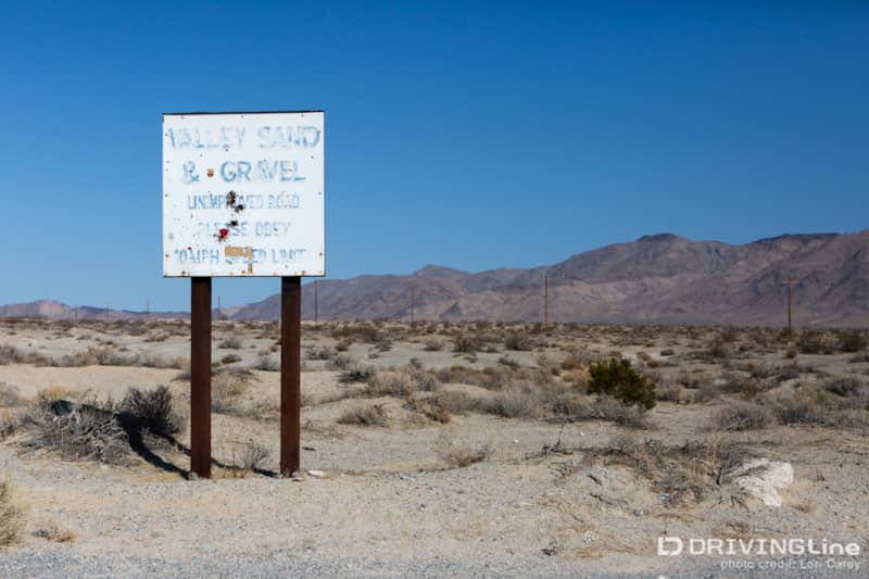
Past the gravel yard we stopped to air down and spotted two Jeeps heading toward us. They had missed the turn to Isham Canyon, a hard-core rock crawling trail in the Slate Range, and hoped we could point them in the right direction. After chatting a bit they invited us to go rock crawling with them. We had a lot of ground to cover before nightfall, so we thanked them for the invitation and watched them ride off.
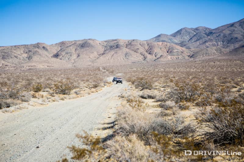
We turned onto the track marked P68, the Slate Range Trail. The trail enters a wash when it reaches the mountains, and then into narrow Goff canyon. After a mile or so when we reached a fork in the trail we made sure to bear left. The short spur to the right is a dead end. The trail then climbs out of the wash and begins the steep ascent up the mountains.
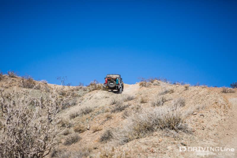
Some sections of the trail are rough with embedded rocks and loose gravel, but there are no serious obstacles. Four-wheel drive and appropriate tires are highly recommended because there are many steep climbs and descents.
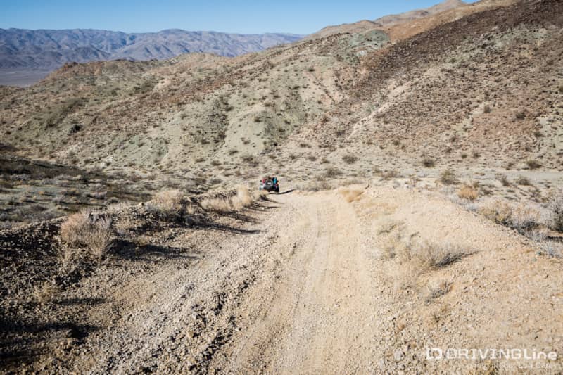
It is 3.4 miles to the saddle at an elevation of 3,100 feet. This is Manly Pass, and there are amazing views of Panamint Valley and the Panamint Mountains, including the 11,049 foot Telescope Peak.
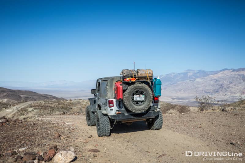
The trail then begins a rollercoaster ride as it follows along the narrow ridgelines, slowly making our descent toward the valley. Some of the ridges were incredibly narrow and just wide enough to fit a vehicle. At the top of each ridge we were awarded with breathtaking views.
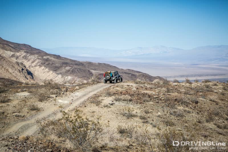
The next mile and a half is steep. We made sure to use a lower gear to save wear on our brakes.
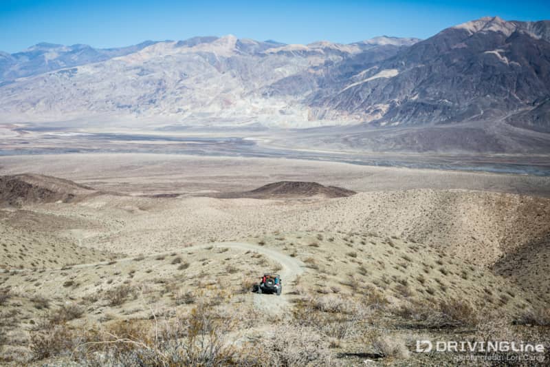
A few of the descents are steep and loose enough that we held our breath until we safely reached the bottom.
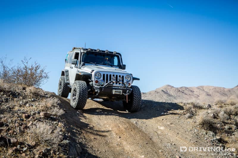
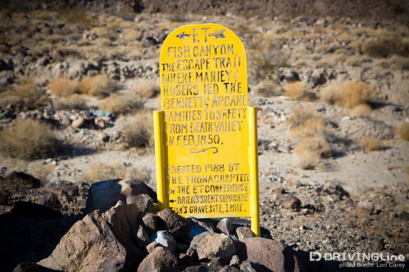
At the bottom of the steep grade we entered the lower part Fish Canyon. Fish Canyon is the actual route used by Rogers and Manly to reach Manly Pass. The canyon was named after Father Fish, another 49er who died here attempting to escape Death Valley. The Bennetts and Arcans found his body on their way to Manly Pass.
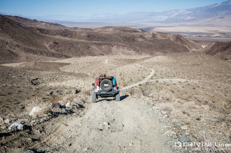
There is a small, bright yellow sign marking the Fish Canyon Escape Route. If you are up to some rock crawling fun, you can take the short one-mile dead-end trail to see Father Fish’s gravesite.
The trail exits Fish Canyon in Panamint Valley. It is very rough and bumpy with embedded rocks until it reaches the edge of Panamint Dry Lake.
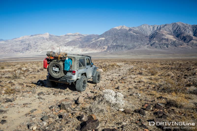
The trail becomes smooth as it winds around and across the mud flats of the dry lake bed.
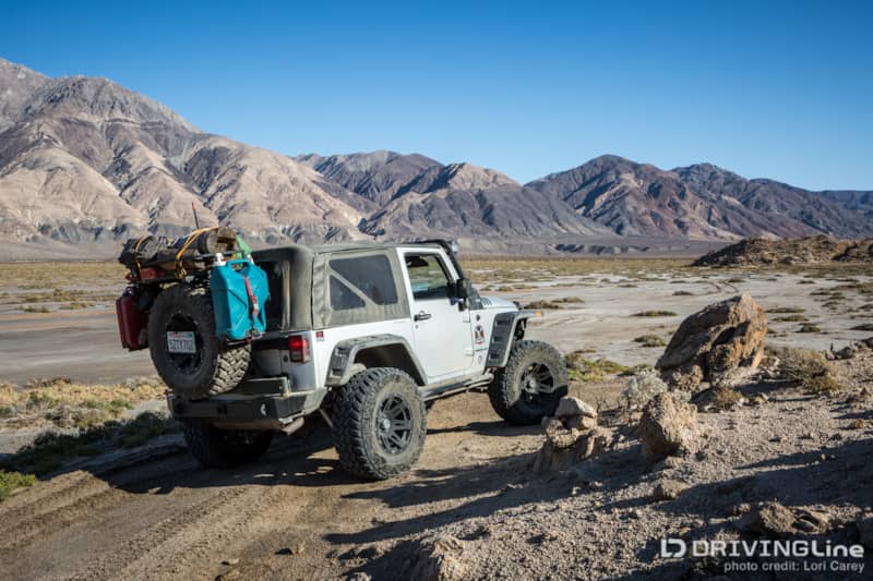
The trail ends at the intersection of graded Wingate Road. Straight ahead is the trail to Goler Wash and Mengel Pass, which we wrote about last month after Cal4Wheel’s Panamint Valley Days event.
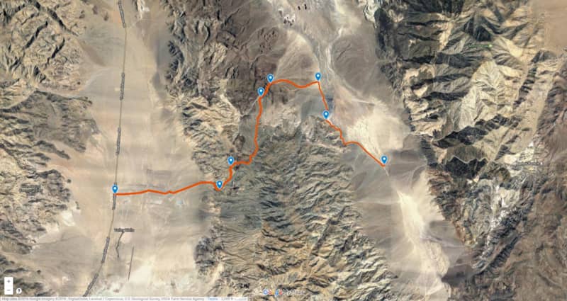
If you want to make it a multi-day trip, you can take Goler Wash to Mengel Pass down into Butte Valley, and then take the Warm Springs Canyon trail to Death Valley Westside. This would take you along the complete route taken by the Bennet-Arcan party.
Turning left on Wingate Road will take you to the ghost town of Ballarat in 15 miles, and it’s 18.5 miles to pavement at Trona-Wildrose Road. The nearest gas station is back in Trona where the trail began, 30 miles after you reach pavement.


