Berdoo Canyon Trail Review
Whether you’re looking for an alternative exit to Joshua Tree National Park, or Geology Tour Road was a little too tame for you, Berdoo Canyon Trail is worth the drive. This 15-mile trail can be picked up from the loop portion of Geology Tour Road, and travels through the scenic Berdoo Canyon in the Little San Bernardino Mountains before finishing in the Coachella Valley outside of Joshua Tree National Park.
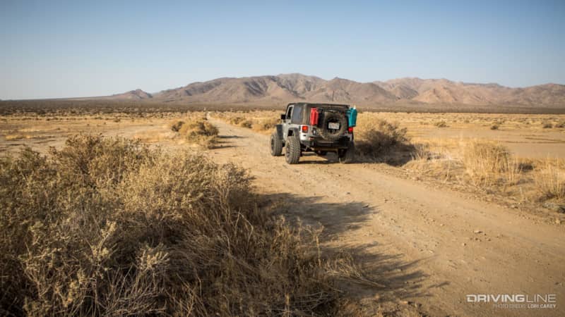
After spending the night shooting the Milky Way and sleeping under the stars in Joshua Tree, we woke to unusually mild temperatures. It was only in the mid-80s, 20-30 degrees cooler than normal for this time of year. Knowing it would be a shame to waste such beautiful weather, instead of heading home to escape the summer desert heat as originally planned, we decided to go check out Berdoo Canyon Trail, which we had never done before.
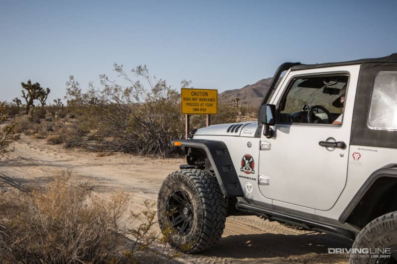
"Caution Road Not Maintained, Proceed At Your Own Risk" is a sign that makes every off roader smile. The Berdoo Canyon trail spurs off to the left at the far south end of the Geology Tour Road loop, deep in Pleasant Valley.
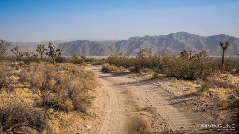
The dusty haze from the Arizona storm was still lingering, but visibility was much better than the day before. There are some beautiful views of the mountains from the lower part of the trail.
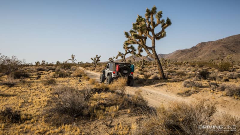
Early morning light bathed the valley as we traveled along the sandy trail lined with iconic Joshua Trees.
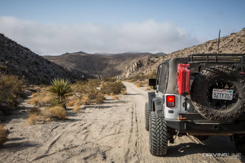
As the trail descends the bajada into Berdoo Canyon, the sand can be deep and loose and there are some rough, uneven sections. The surface of the bajada is easily affected by rainfall, so trail conditions are always changing.
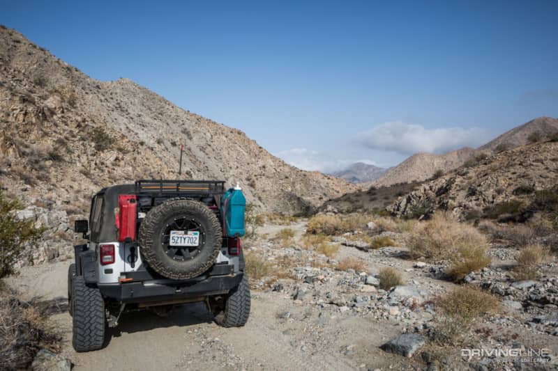
At the mountains, the trail enters the scenic Berdoo Canyon and gradually climbs to 4,290 feet. The trail follows along the wash, and you need to pick your way across some rocky sections.
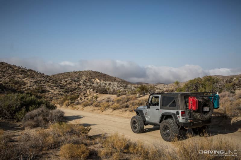
Near the top of a ridge, we spotted a line of clouds a few ridges over that we needed to keep an eye on. We were about to enter a winding narrow canyon, and rain anywhere in the vicinity could cause a potentially deadly flash flood. We checked the NOAA weather channel and made sure that the Weather Alert was set on my ham radio so we would be notified if any flash flood warnings were issued for the area.
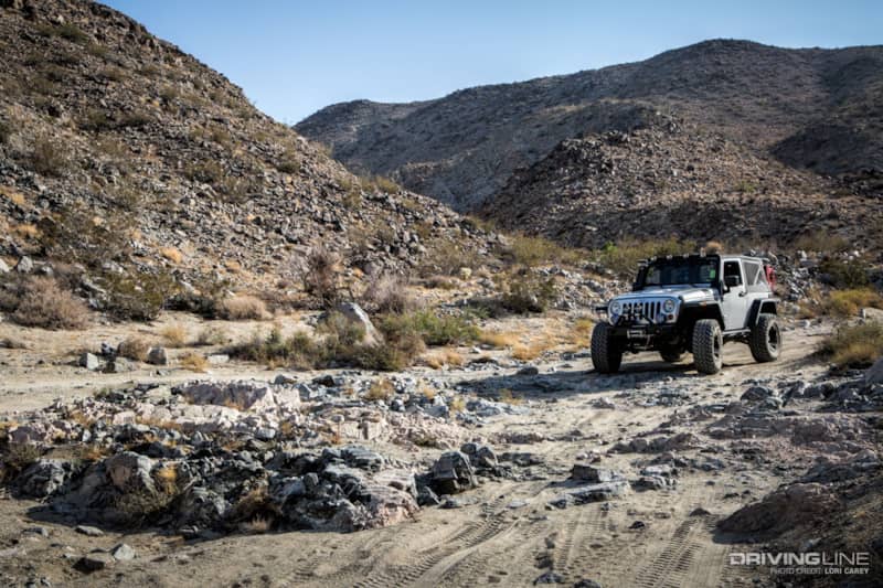
Once in the canyon, the trail follows along the wash and begins to get rocky. For the most part the trail is straightforward, but there are a few sections that require careful tire placement.
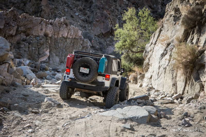
The walls of the canyon are towering, and you would not want to be caught here during a flash flood. Navigation is easy as there’s really nowhere else to go. We spotted a few bypasses around some of the rougher sections, but they quickly rejoined the trail.
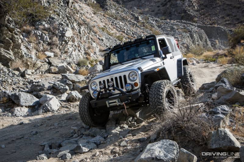
Yep, this trail is definitely more fun than the tamer Geology Tour Road. Especially in our Trail-Grappler equipped Wrangler.
(Learn more about Lori's Jeep Wrangler JK.)
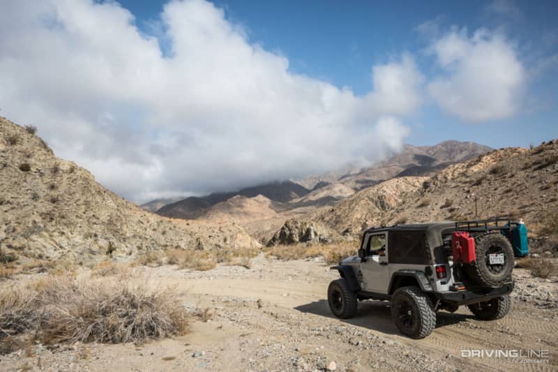
We caught up to the clouds we had spotted earlier. They looked white and fluffy and didn’t appear threatening. This was a great spot to stop for a snack and to stretch our legs. It’s quiet and peaceful in the canyon.
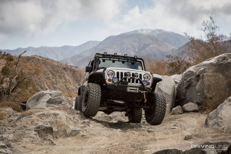
The last obstacle is probably the most challenging section of the trail, and the photo doesn’t do it justice because it was a few off-camber steps down. The obstacle isn’t difficult. The truth is, we were lazy that morning and hadn’t even aired down or disconnected for the trail. Not knowing what to expect, we figured we could do so if trail conditions required it. It does require careful tire placement though, like the other rocky sections. The obstacle serves as a gatekeeper to prevent less capable drivers and vehicles from heading into the rocky canyon. If you are not very experienced, you may wish to have someone act as a spotter to help you through it. At the bottom and off to the side, a stock Jeep Wrangler waited and carefully watched us. After we were through, they approached the rocks and then backed off, eventually deciding to turn around. We considered offering to help spot them through it, but then realized that probably wasn’t the best idea. If they had similar concerns at the rest of the rocky sections on the trail, they would be on their own. A few minutes later, another truck coming up from Dillon Road also decided to turn around at the rocks.
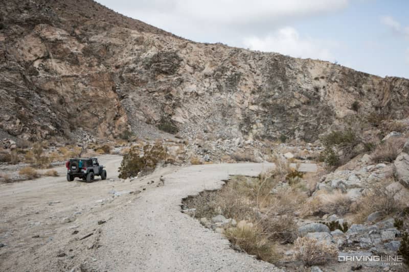
After 11.5 miles the trail leaves the National Park. The remains of the old Berdoo Camp, part of the Colorado River Aqueduct Construction project in the 1920-1930s, are on the right side of trail above the canyon walls. The camp was responsible for tunneling under the Little San Bernardino Mountains to bring water to the Coachella Valley. All that is left are some graffiti covered concrete building foundations, and a crumbling section of paved road. The section of road here is too narrow for driving on, but further along the trail soon joins the paved road that used to lead to the camp.
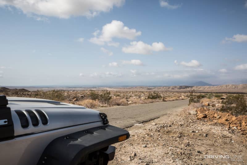
Once you hit the paved section there is a shooting range on the right side, so don’t be surprised to hear gunfire and see armed men right alongside the road. Past the range, the surrounding area is littered with graffiti and trash piles. In all honesty, if you were to approach the trail from this side, you might decide to turn around. It’s a bit of a shock after the solitude and beauty of the canyon. The trail ends on Dillon Road in the Coachella Valley, between Indio and Desert Hot Springs.
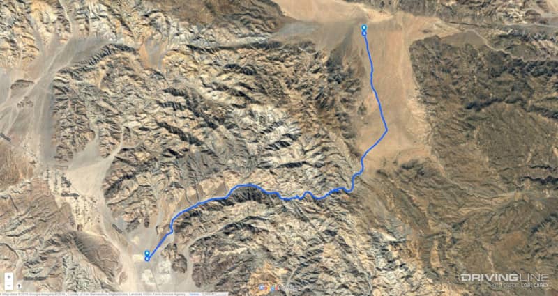
There is no cell phone signal or services of any kind inside JTNP. As always when traveling in the desert backcountry, bring your desert survival kit and plenty of water. Make sure to check the weather forecast before heading out on this trail, you do not want to get caught here during a flash flood. No camping is allowed along the trail inside Joshua Tree National Park.


